Anyone who wants to navigate astronomically will still have to use a sextant today. But that can also be seen as a sport. However, everything else – mountains of astronomical dokuments, guessed positions, forms, blank maps, calculators, drawing utensils and the ability to use all these things – is no longer required.
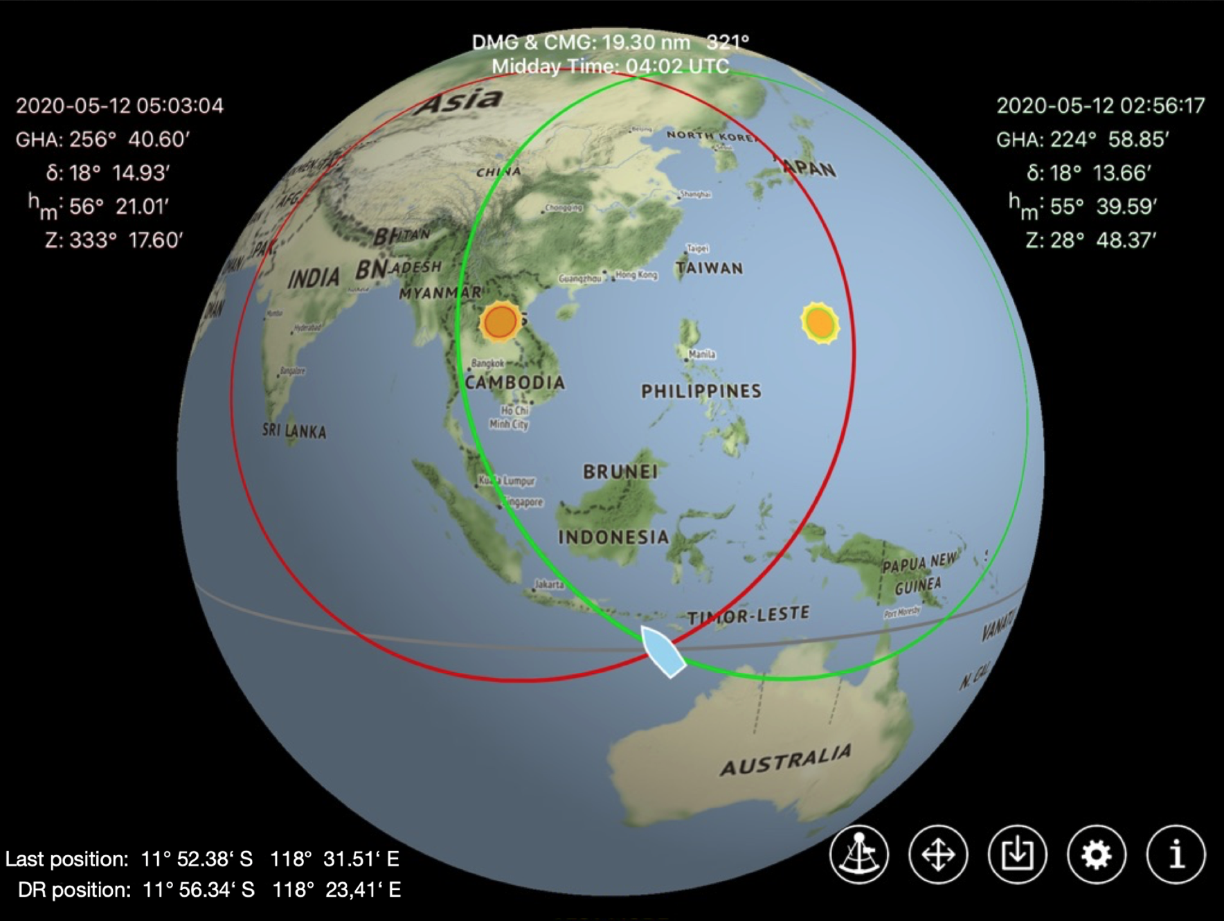
There are modern apps that allow anyone with a mobile phone or tablet to find their position using a sextant. No knowledge of mathematics or astronomy is required. After entering just two observations of the sun, the position is displayed on a zoomable electronic map, more accurately than with any other traditional method.
This makes the decision to carry an astronavigation backup on board as part of good seamanship much easier.
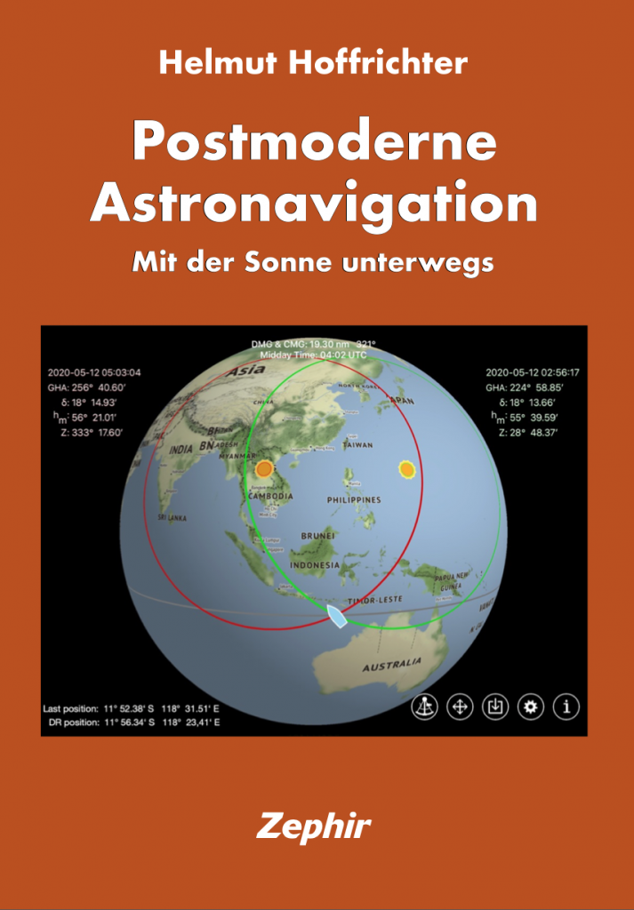
Post-Modern
Astronavigation
navigating barrier-free with the sun
The history of astronavigation,
the new method with a navigation app and
the description of the exact analytical navigation methods, which had to be rejected in favour of the graphical approximation methods 150 years ago because there were no computers
are presented in the following articles. To call up the chapters, the pictures must be clicked on.
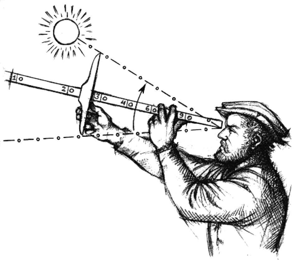
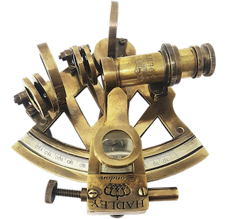
1 History of astronavigation
2 The sunnavigation app
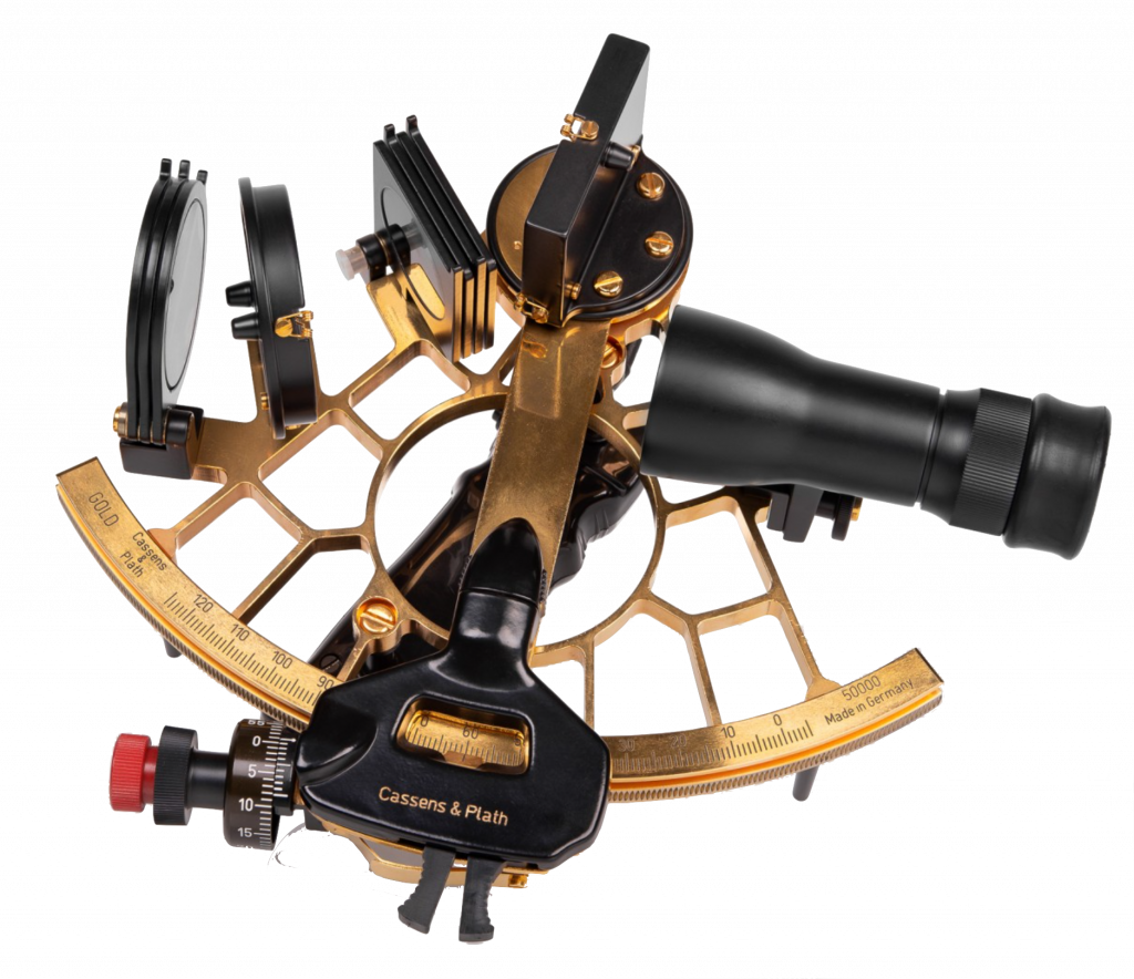
3 Quick sextant lesson
4 Analytical positioning
5 & 6 Dead reckoning and great circle calculation
7 Equation of Time and Sunalmanac
8 The original Gaussian solution of the two star sight problem (1812)